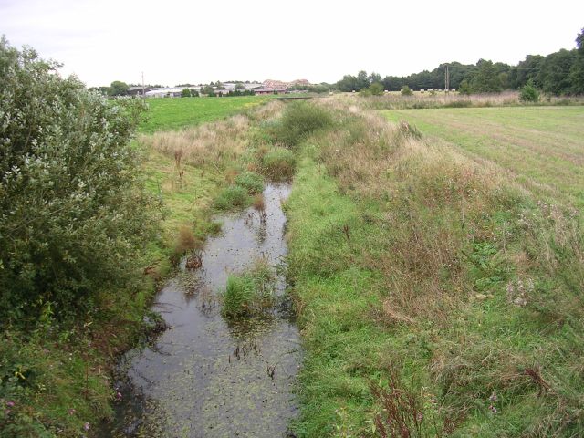
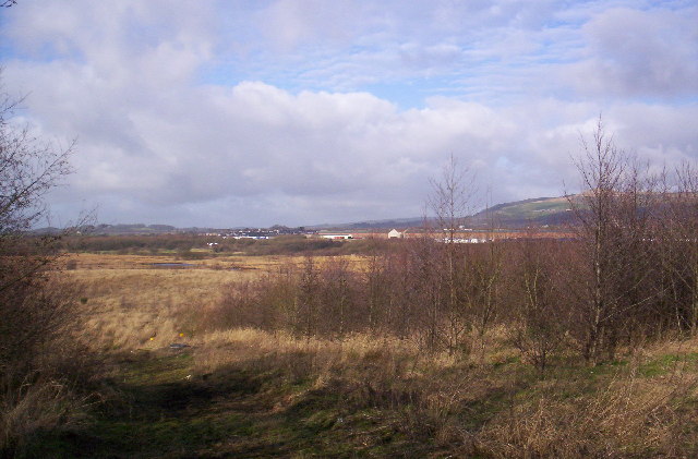
Red Moss is a 47-hectare (116 acres) wetland moss and Local Nature ReserveStatutory designation allowing principal local authorities to protect areas containing wildlife or geological features of particular local interest. between Horwich and the M61 motorway in Greater Manchester, a designated Site of Special Scientific Interest (SSSI) because of its biodiversity and undisturbed character.
British Rail and United Utilities own parts of Red Moss, but most is in the possession of Bolton Metropolitan Borough Council. Destined to become a waste tip in the 1990s, the national importance of the moss has ensured its preservation and restoration.
Background
Red Moss lies between the M61 motorway and the former British Rail locomotive workshops at Horwich, south of the town centre. It is an area of raised mire[a]Mire is an alternative name for a bog. that formed over glacial deposits after the last Ice Age. Pollen analysis shows that the first peat deposits in the northwest’s mosslands were formed around 10,000 years ago.[1] A severed female head dating from the Bronze Age or early Iron Age was discovered in the moss in the 19th century.[2] Water from Red Moss drains from the southwest corner into the Middlebrook near Horwich Parkway railway station before it becomes the River Croal in Deane on the outskirts of Bolton.
Lowland raised mires, commonly called mosses in Lancashire, once occupied large areas of Greater Manchester and Merseyside but now are rare, locally and nationally. Red Moss is one of a few remaining examples of mire along with Astley and Bedford Mosses
Areas of peat bog south of the Bridgewater Canal and north of the Liverpool and Manchester Railway in Astley and Bedford, Leigh, England. and Highfield Moss. Red Moss is the best in terms of peat-forming vegetation and hydrology.[1]
The moss was destined to become a Bolton Council waste tip site, but its designation as a SSSI in January 1995 and adoption by English Nature meant it became a haven for wildlife. The Lancashire Wildlife Trust consider that the “site is of great national importance and is one of the last examples of this kind of habitat in the region.”[3]
A former landfill site on the edge of Red Moss was sold by Greater Manchester Waste Disposal Authority to Landcare, a company specialising in redeveloping redundant brownfield sites, in 2013 but the company had no plans for future development.[4]
Woodland Trust
In 1999 Bolton Council asked the Wildlife Trust for Lancashire, Manchester and North Merseyside to manage the mossland. The aim was to restore water levels and conditions for the growth of mossland species.[1] Since then, the trust has blocked drainage ditches and raised water levels to be suitable for the growth of mossland species. Strips of higher land, have been constructed to isolate the mossland, and the site is now fed solely by rainfall, to protect the site from pollution. Water levels have risen and mossland vegetation is now beginning to spread over a wider area, so that in future many lost species can be re-established. In May 2010, the area was badly damaged by fire.[5]
The surface of the moss bears the scars of abandoned peat cutting, and is in parts very wet as evidenced by the development of Sphagnum moss. The approximate average depth of the remaining peat is 3.5 metres (11.5 ft). The site is notable for its diversity of Sphagnum moss species; nine have been identified and several are only found on raised mire, more than on other sites in Greater Manchester and Merseyside. Common cotton grass is widely distributed, especially where there are ditches and pools. Hare’s-tail cotton grass is less common. At the northern end of the moss is an area of willow scrub.[6][7]
Snipe and teal breed on the mossland, and the ditches and pools are breeding sites for dragonflies.[6]


