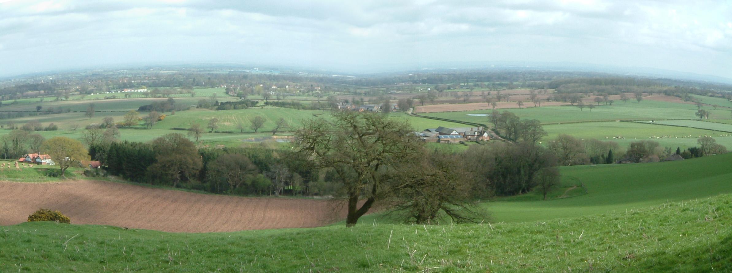
The Cheshire plain is a relatively flat expanse of lowland in North West England, between the Mersey Valley to the north, the Shropshire hills to the south, the hills of North Wales to the west, and the foothills of the Pennines to the east. It is the surface expression of the Cheshire Basin, an area of sedimentary rocks overlain by Mercia Mudstones. At its base lies a layer of Sherwood Sandstone, between 600 and 700 metres thick, which sometimes outcrops around the western and southern margins of the basin. The sandstone was laid down about 250 million years ago, by a major river that once flowed across England.[1] The plain is divided into the Cheshire Plain East and the Cheshire Plain West by a sandstone ridge that runs through it from north to south, the Mid-Cheshire Ridge.[2]
The Mercia Mudstone overlaying the sandstone was laid down between 200 and 240 million years ago. About 2000 metres (6,562 ft) thick, it was probably created by an accumulation of wind-blown dust deposited in temporary lakes. Britain was then much nearer the equator, and the plain was a low-lying desert into which the sea encroached periodically. The evaporation of the sea water resulted in the deposition of salt deposits, up to 50 metres (164 ft) thick in places, which has been mined extensively and is the major source of salt for the whole country.[1]
About 20,000 years ago, during the last glacial advance, ice from the Irish Sea deposited large amounts of glacial till, sand and gravel over much of the plain.[3] The resulting soil is ideally suited to grass, and was a major factor in the development of dairy farming on the plain.[2]

