
Wikimedia Commons
Elland flags are sandstones interbedded with mudstones and siltstones in the Lower Coal Measures of West Yorkshire. The flags were extensively quarried and mined in the Leeds, Bradford, Halifax area particularly around Elland, Brighouse and Hipperholme, where the best flagstones occur. The rocks are of lesser quality as they are tracked northwards towards Bradford, and more so towards Leeds.[1]
The best stone was flat-bedded sandstone used for roofing and flagstones for paving and monumental stone or ashlar. The poorer quality cross-bedded stone, ragstone, was used for walling.[1] Stone of the thinnest bedding was used for roofing, paving or fencing, and where it was thicker, it was split into blocks and used for walling, lintels, steps, columns or gateposts.[2] The earliest quarries produced stone for local use because of transport costs, but trade in flags from quarries at Cromwell Bottom and Elland Edge was facilitated by the Calder and Hebble Navigation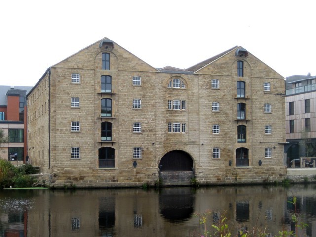
Constructed between 1758 and 1834, the navigation makes the River Calder navigable between Sowerby Bridge and Wakefield in the West Riding of Yorkshire. for transshipping to east Yorkshire and beyond after 1770.[3]
The flags were taken at first from outcrops and used for roofing slate for which a mention was made in 1314. By the 17th century flagstone was being quarried, and by 1850 stone was being mined from drift mines. Lifting and haulage was done manually until horse gins and hand cranes were introduced during the 19th century. Shaft mining started in the Hipperholme area in the 1850s and lasted for nearly a century.[2] Shafts were sunk by hand, usually circular and mostly less than 100 feet (30 m) deep.[4]

Wikimedia Commons
Elland Flags were quarried around Halifax from the 12th century, but peak production was in the late-19th century. At least 40 flagstone quarries were being worked around Northowram, Southowram, Hipperholme and Brighouse in 1900. They provided stone walling, roofing slates and paving for Halifax, Huddersfield, Leeds, Bradford, and other local towns and villages and supplied paving stones to other parts of Britain, particularly London. The industry declined after the First World War.[5]
Most mines were small and had short lives;[2] the longest lasting were in the Brighouse area.[4] Longroyd Mine was the largest but was worked out by 1917. Southages in Rastrick, which employed 47 miners and 100 surface workers in 1902, lasted for 57 years.[4]