Wikimedia Commons
The Burnley Coalfield is the most northerly area of the Lancashire CoalfieldThe Lancashire and Cheshire Coalfield in North West England was one of the most important British coalfields. Its coal seams were formed from the vegetation of tropical swampy forests in the Carboniferous period more than 300 million years ago.. Surrounding Burnley, Nelson, Blackburn and Accrington, it is separated from the larger southern part by an area of Millstone Grit that forms the Rossendale anticline.[a]A convex fold in stratified rock that has its oldest beds at its core Occupying a syncline,[b]A concave U-shaped fold in stratified rock the coalfield stretches from Blackburn beyond Colne to the Yorkshire border, where its eastern flank is the Pennine anticline.
Some easily accessible seams were worked on a small scale from the 13th century and extensively from the beginning of the Industrial Revolution until the last quarter of the 20th century. Several collieries were nationalised on 1 January 1947, and parts of the area were opencasted in the 1950s. Hill Top Colliery, a privately owned drift mine near Bacup, was still producing small amounts of coal in 2010.
Geography and geology
The coalfield around Burnley, Nelson, Blackburn and Accrington is the most northerly portion of the Lancashire Coalfield. The Rossendale anticline, an area of Millstone Grit, separates it from the larger southern part of the coalfield.[1] Occupying a syncline bounded by the Pendle monocline to the north, the coalfield stretches from Blackburn, eastwards past Colne to the Pennine anticline on the border with Yorkshire.[2]
The coalfield’s seams are the Westphalian Coal Measures of the Carboniferous period, laid down from the vegetation of tropical swampy forests more than 300 million years ago but here, only the Lower Coal Measures remain. Within the coalfield, the dip in the strata varies from shallow to the south and west but steeper where there are faults.[3] Named faults include the Deerplay Fault in the middle of the district which is associated with a line to west where the Lower Mountain and Upper Foot mines combine to form the Union mine. The Cliviger Valley Fault has a throw of up to 400 metres (1,300 ft) in the Cliviger valley. The intersecting Theiveley Lead Mine and nearby Hameldon Faults are some of a smaller number of easterly aligned structures which separate the coalfield from the horizontal strata of Rossendale.[3][4] Other unnamed faults include one between Altham and Huncoat, which is considered to be the boundary between the Burnley and Accrington district.[2]
On the coalfield, 19 coal seams of varying thickness were exploited over time.[5] The most important were the Lower/Union and Upper Mountain, Dandy, King and Arley mines.[c]In this part of Lancashire a coal seam is referred to as a mine and the coal mine as a colliery or pit. Seams were generally less than 1.5 metres in thickness, frequently less.[6] One notable exception occurs in the Calder Valley near Gawthorpe Hall, where as a result of the absence of the Tim Bobbin Rock which usually separates the King and Fulledge Thin mines, the Padiham Thick mine is up to 5.3 metres thick.[7][8] Coal extracted from the Arley, Upper and Lower Mountain mines was used to produce high grade metallurgical coke, which was in high demand for industry, whereas coal from the Union/Upper Foot mines had a high sulfur content, making it unsuitable for making coke.[5]
The Union mine is contaminated with in-seam spherical concretions known locally as coal balls or bobbers. Composed of limestone, they measured from 10 centimetres to 1 metre in diameter and posed hazards for mining. They were largely responsible for the closure of Bank Hall CollieryCoal mine near the Leeds and Liverpool Canal in Burnley, Lancashire., the town's largest and deepest pit., the area’s largest and deepest pit.
History
Coal was exploited in the 13th century at Trawden near Colne where receipts are mentioned in a rent roll from 1295. Coal was also bought at Cliviger.[9] The first coals were extracted at the outcrops before shaft and adit mining were adopted. The coal industry grew in the 16th and 17th centuries, developing from manorial tenants who dug coal for their own use into fixed-term leases in return for rent. Coal was mined all around Burnley, mostly from shafts. By 1800, more than a dozen pits had been sunk in central Burnley.[10]
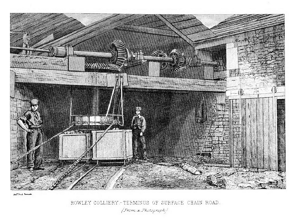
The arrival of the Leeds and Liverpool Canal was a catalyst for industrialisation as was the coming of the Lancashire and Yorkshire Railway line through Burnley to Colne in 1848.[11] In the 1840s some old small pits such as Cleggs Pit and Habergham closed and larger collieries were sunk at Bank House Colliery, Whittlefield Colliery and the old Fulledge Colliery was redeveloped and linked by a tramway to canal. Tramways came into more common use in the 1880s and several collieries in the town were linked by the system.[12]
Several collieries were nationalised under the Coal Industry Nationalisation Act 1946 on vesting day, 1 January 1947.[13] After the 1950s much of the area was opencasted.[14] Hill Top Colliery, a small drift mine near Bacup, was still producing small amounts of coal in 2010.[15]
Notes
| a | A convex fold in stratified rock that has its oldest beds at its core |
|---|---|
| b | A concave U-shaped fold in stratified rock |
| c | In this part of Lancashire a coal seam is referred to as a mine and the coal mine as a colliery or pit. |