25 suggestions for "cheshire"
Beeston CastleFormer royal castle built in the 1220s by Ranulf de Blondeville, 6th Earl of Chester, (1170–1232), on his return from the Fifth Crusade.
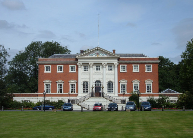
Belmont Hall18th-century country house one mile northwest of the village of Great Budworth, Cheshire, England. It has been in the possession of the Leigh family for more than 200 years.
Brook Street Chapel, KnutsfordGrade I listed active Unitarian and Free Christian chapel in Knutsford, Cheshire.
Cheshire PlainRelatively flat expanse of lowland in North West England, the surface expression of the Cheshire Basin, an area of sedimentary rocks overlain by Mercia Mudstones laid down about 250 million years ago.
Church of St Barnabas, CreweGrade II listed active Anglican church in Crewe, Cheshire.
Delves HallGrade I listed tower house in Doddington Park, Cheshire.
Doddington CastleRedirected to Delves Hall
Doddington Hall18th-century Grade I listed country house in Doddington, Cheshire.
Dorfold HallGrade I listed Jacobean mansion house in Acton, Cheshire.
Grade I listed buildings in CheshireGrade I listed buildings in the ceremonial county of Cheshire, split into the four unitary authorities making up the county.
Grade I Listed Buildings in Cheshire EastGrade I listed buildings in Cheshire East, in the ceremonial county of Cheshire.
Grade I listed buildings in HaltonGrade I listed buildings in the borough of Halton, in the ceremonial county of Cheshire.
Great Moreton HallGreat Moreton Hall is a former country house in Moreton cum Alcumlow near Congleton, in Cheshire, England, less than a mile (1.6 km) from its better-known near namesake Little Moreton Hall.
Highfields, BuertonSmall Grade I listed country house in the civil parish of Buerton, Cheshire.
Holcroft MossSite of Special Scientific Interest in Cheshire, and a European Union designated Special Area of Interest of Conservation.
Holmes ChapelBuilt-up area and civil parish in the unitary authority of Cheshire East.
Little Moreton HallMoated half-timbered manor house 4.5 miles (7.2 km) southwest of Congleton in Cheshire, England, the earliest parts of which date from about 1504–1508.
Lymm CrossGrade I listed 17th-century sandstone cross in the Cheshire village of Lymm.
Mary Baguley, witchWoman found guilty of causing the death of the schoolteacher Robert Hall by the use of magic, executed in 1675.
Moss Hall, AudlemGrade I listed country house near the village of Audlem, Cheshire, built in 1616.
Peel Hall, CheshireJacobean-style Grade II* listed building in Cheshire, built in 1637.
Regent HouseGrade II listed 16th-century timber-framed house in Nantwich, Cheshire.
Sandbach CrossesTwo early 9th-century stone Anglo-Saxon crosses in the market place of Sandbach, Cheshire.
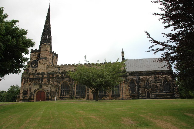
St Luke’s Church, Holmes ChapelGrade 1 listed building and an active Anglican parish church in Holmes Chapel, Cheshire, dating from about 1430.
St Mary’s, CreweActive Roman Catholic church in Crewe, Cheshire, a designated Grade II listed building completed in 1891.