


Parish of Wincle
Wincle is a village Small rural collection of buildings with a church. and civil parish
 Smallest administrative unit in England. in the local authority district of Cheshire East, part of the ceremonial county of Cheshire, situated at the south-western edge of the Peak District National Park. The village is centred around the Grade II listed
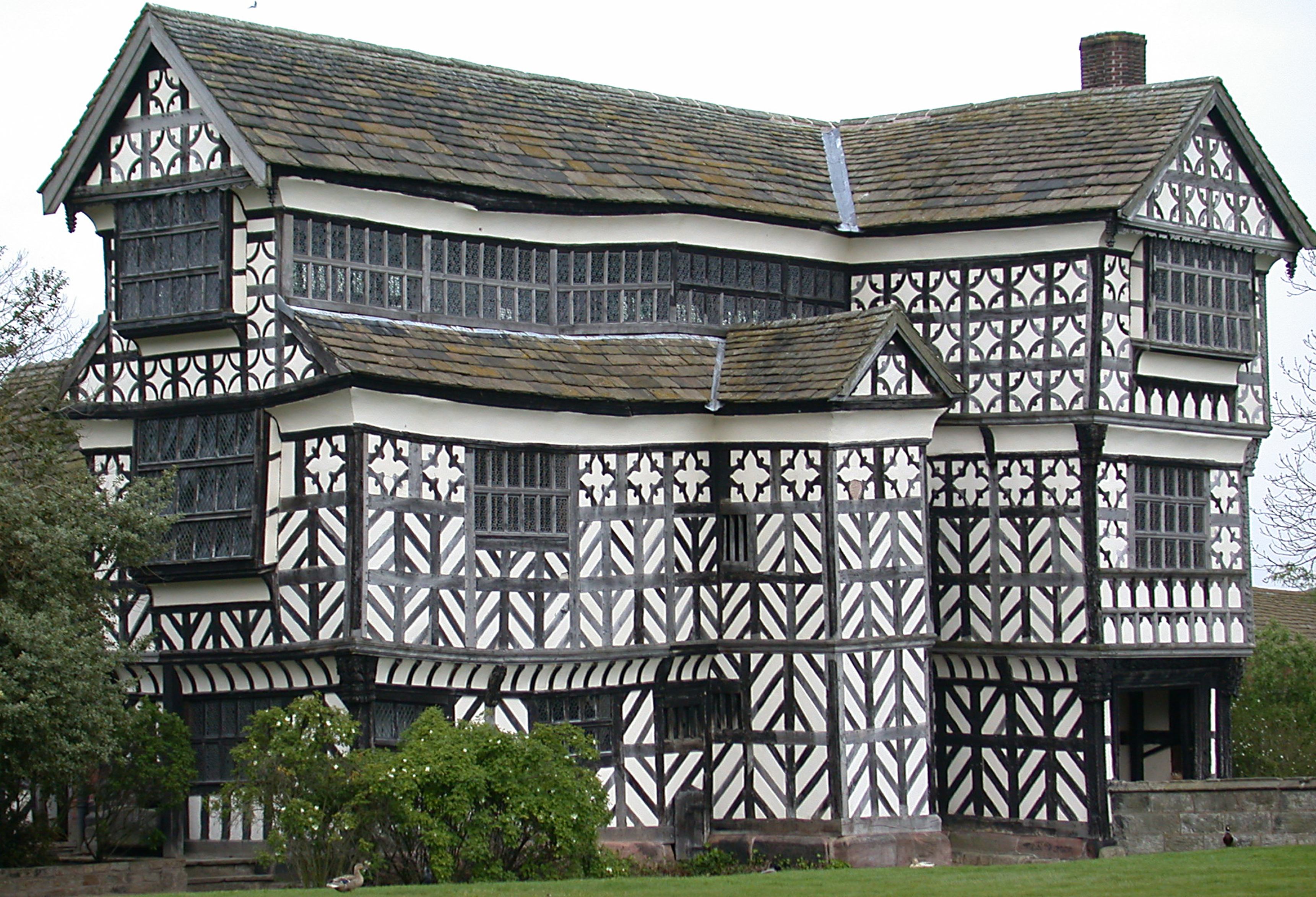 Structure of particular architectural and/or historic interest deserving of special protection. St Michael’s Church
 Grade II listed active Anglican church in the village of Wincle, East Cheshire. and the adjacent village school.[1][2]
Geography
Occupying an area of 1,129 hectares (2,790 acres),[3] Wincle lies in the hills that rise out of the eastern edge of the Cheshire plain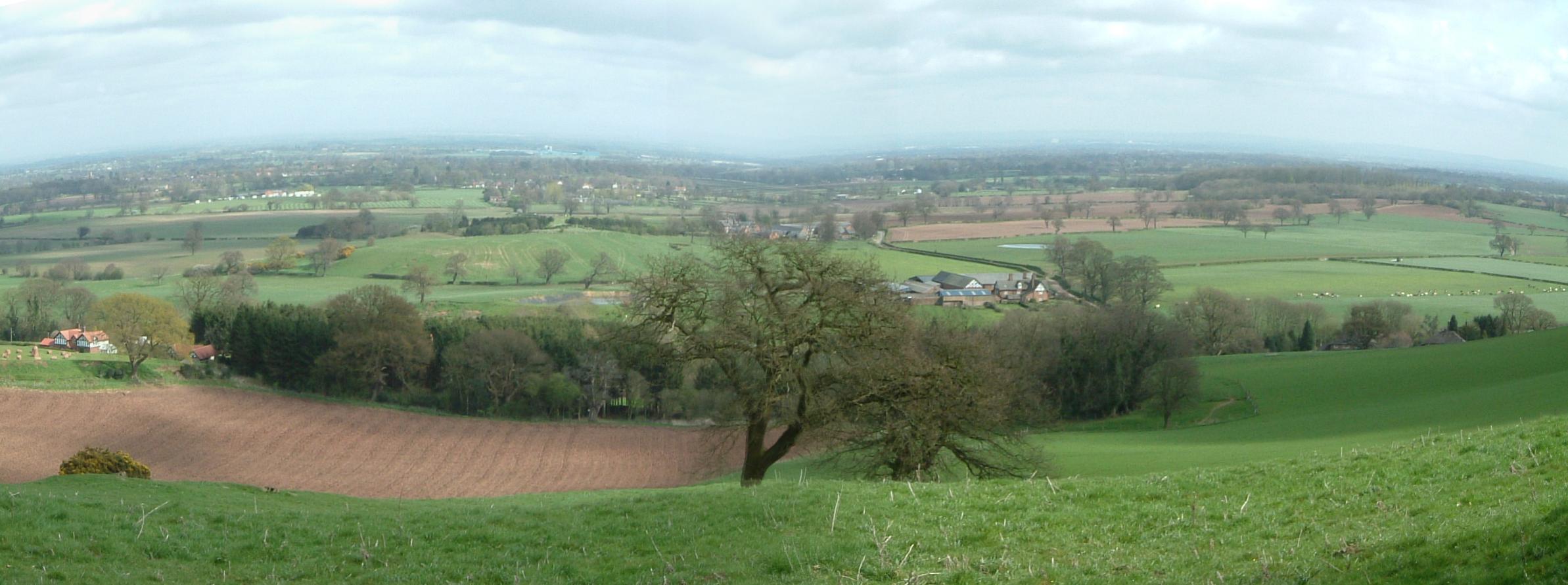 Relatively flat expanse of lowland in North West England, the surface expression of the Cheshire Basin, an area of sedimentary rocks overlain by Mercia Mudstones laid down about 250 million years ago.. The landscape of the parish is mixed, with farmland interspersed with deciduous woodlands along the sides of the River Dane valley; on higher ground that gives way to heather moorland
 Dominant landscape of Britain's uplands, including many of its national parks..[4]
Although Wincle is considered by some to be “relatively isolated”, the towns of Macclesfield, Buxton, Congleton and Leek are all less than eight miles (13 km) away, and Greater Manchester, Merseyside, the Potteries and Sheffield are all within an hour’s drive.[4] As well as the village of Wincle, the parish includes the hamlets of Allgreave, Allmeadows, Clewlow Cross, Danebridge, Greasley, and Lanehouse.[5]
History
Wincle is not listed in Domesday, but in 1291 a settlement known as Wynkehull or “Wineca’s Hill” was recorded. The Dane Bridge, crossing through the then hamlet, was a major route between Leek and Macclesfield, first recorded in 1190 when it was known as Scliderford, meaning slippery ford.[6]
Before becoming a parish in 1866, Wincle was a chapelry Church subordinate to a parish church serving an area known as a chapelry, for the convenience of those parishioners who would find it difficult to attend services at the parish church. in the parish of Prestbury, in the hundredAdministrative subdivision of a shire. of Macclesfield, in the county palatine of Chester.[5]
Governance
Wincle holds parish meetings rather than parish council meetings, which means that all registered electors are entitled to attend.[7]
In terms of national government, Wincle belongs to the Sutton Ward,[8] part of the constituency of Macclesfield, represented in the UK Parliament by one MP.[9][10]
Demographics
The 2021 Census recorded Wincle as having a population of 198, a population density of 0.18 per hectare,[3] the lowest in the Peak District.[4] As at 2026, the electoral register shows 147 adults living in the parish.[5]
