The local government district of Lancaster in North West England is one of the twelve local government districts and two unitary authorities that make up the ceremonial countyArea with an appointed Lord Lieutenant and High Sheriff to represent the monarch's interest. of Lancashire. The borough contains twenty-four of the seventy Grade I listed buildingsStructure of particular architectural and/or historic interest deserving of special protection. in Lancashire.
Grade I structures are those considered to be “buildings of exceptional interest”.[1]
| Name | Location | Architect | Completed | Entry number | Image |
|---|---|---|---|---|---|
| Ashton Hall | Thurnham, Lancaster | Early 14th century, largely rebuilt in 1856 | 1071756 | 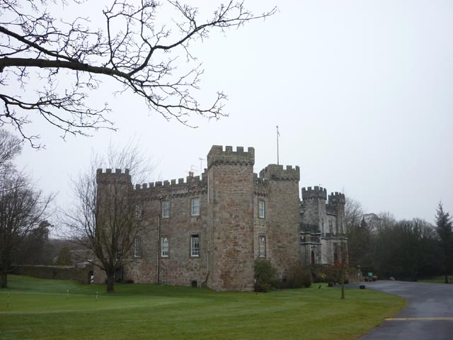 Wikimedia Commons | |
| Ashton Memorial | Lancaster | John Belcher | 1905–1909, restored 1985–1987 | 1288429 |  Wikimedia Commons |
| Borwick Hall | Borwick, Lancaster | Late 16th century | 1071914 | 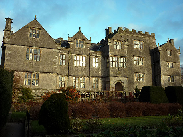 Wikimedia Commons | |
| Borwick Hall Gatehouse | Borwick, Lancaster | Probably mid-17th century | 1318063 |  Wikimedia Commons | |
| Borwick Hall Stables | Borwick, Lancaster | Probably mid-17th century | 1362424 |  Wikimedia Commons | |
| Burrow Hall | Nether Burrow | c. 1740 | 1072065 |  Wikimedia Commons | |
| Claughton HallLarge Grade I listed country house in the English village of Claughton, Lancashire. | Claughton | c. 1600 | 1071676 | 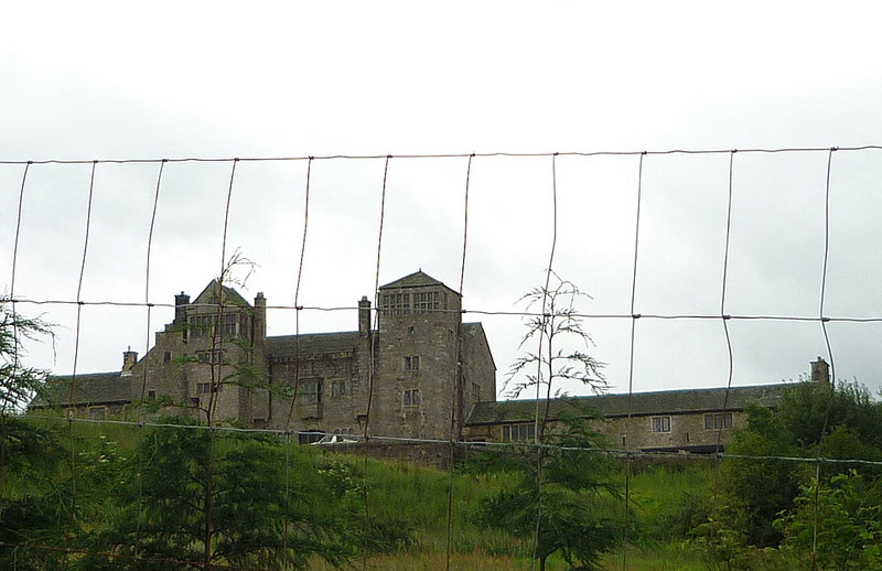 Wikimedia Commons | |
| Hornby Castle | Hornby | 16th century | 1317655 |  Wikimedia Commons | |
| Lancaster Castle | Lancaster | c. 1150 | 1194905 | 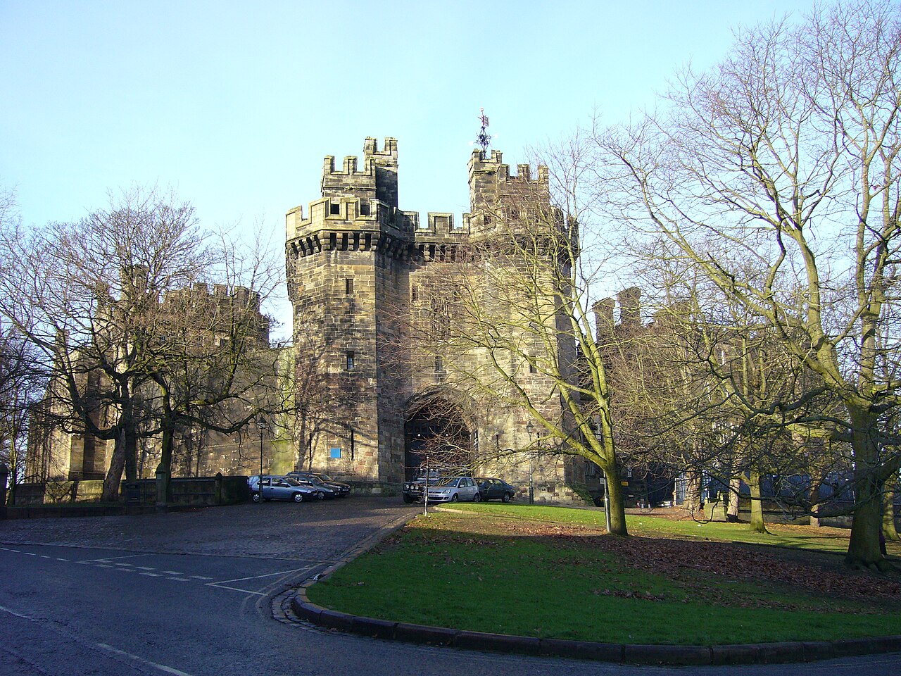 Wikimedia Commons | |
| Lancaster Priory | Lancaster | c. 1430 | 1195068 |  Wikimedia Commons | |
| Lune Aqueduct | Lancaster Canal, Halton | John Rennie | 1797 | 1362451 |  Wikimedia Commons |
| Old Rectory, Warton | Warton | Mid-14th century | 1362462 |  Wikimedia Commons | |
| Rock Cut Tombs Approximately 10 Metres West of Chapel of St Patrick | Heysham | Early 14th century | 1292902 |  Wikimedia Commons | |
| Rock Cut Tombs Approximately 4 Metres South East of Chapel of St Patrick | Heysham | Early 14th century | 1207215 |  Wikimedia Commons | |
| St John the Baptist’s Church | Tunstall | c. 1415 with 16th-century alterations | 1071642 | 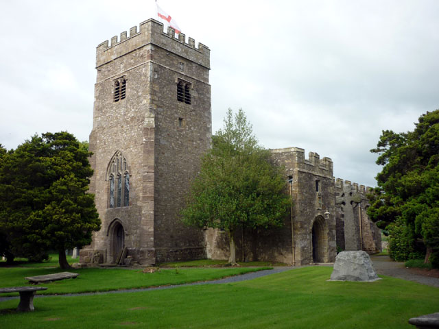 Wikimedia Commons | |
| St John the Evangelist’s Church | Gressingham | 12th century, partly rebuilt in 1734 and restored in 1862 | 1164600 |  Wikimedia Commons | |
| St Margaret’s Church | Hornby | 1514 | 1071657 | 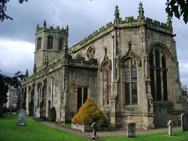 Wikimedia Commons | |
| St Oswald Vicarage | Warton | Largely built in 1823, although its rear wing dates to around 1300 | 1308862 |  Wikimedia Commons | |
| St Patrick’s Chapel | Heysham | 8th 0r 9th century | 1208949 |  Wikimedia Commons | |
| St Peter’s Church | Heysham | 14th century | 1279836 |  Wikimedia Commons | |
| St Wilfrid’s Church | Melling | Late 15th century | 1165114 | 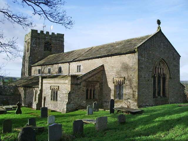 Wikimedia Commons | |
| The Chapter House, Cockersand AbbeyFounded as a hermitage before 1184, the remains of which are now a scheduled monument. | Thurnham, Lancaster | Early 13th century | 1362525 |  Wikimedia Commons | |
| The Judges’ Lodgings and attached forecourt, steps, gate piers, gates and railings | Lancaster | c. 1625 | 1298414 |  Wikimedia Commons | |
| Thurnham Hall | Thurnham, Lancaster | c. 1600 | 1317674 |  Wikimedia Commons |
See also
- Grade I listed buildings in LancashireGrade I listed buildings in the ceremonial county of Lancashire, split into the fourteen authorities making up the county.

