

Tunbridge Wells shown within Kent
Wikimedia Commons
Wikimedia Commons
The local government district of Tunbridge Wells is one of the thirteen district authorities that make up the ceremonial county of Kent.[1]
The borough contains twenty-eight of the Grade I listed buildings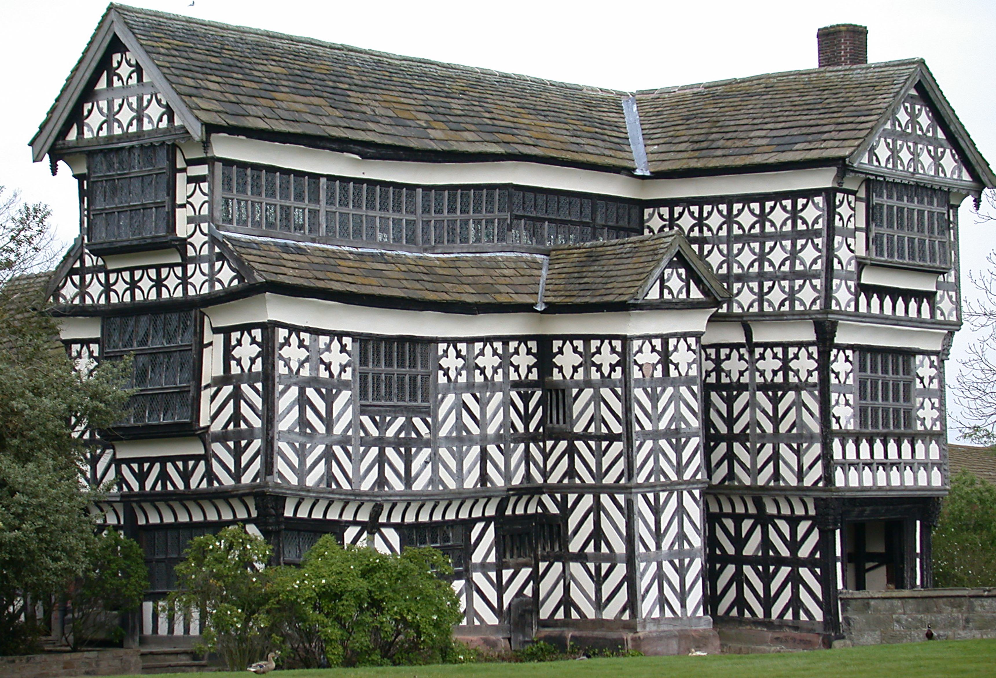 Structure of particular architectural and/or historic interest deserving of special protection. in Kent. Grade I structures are those considered to be “buildings of exceptional interest”.[2]
| Name | Location | Architect | Completed | Entry number | Image |
|---|---|---|---|---|---|
| Barn 60 Yards North of the West Range of Sissinghurst Castle | Cranbrook | Early 16th century | 1099119 |  Wikimedia Commons | |
| Buildings of the service courtyard adjoining south of Groombridge Place including the walls of the Herb Garden | Speldhurst | c. 1660 | 1260883 | 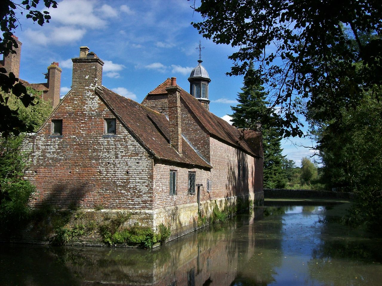 Wikimedia Commons | |
| Chapel of St John the Evangelist | Groombridge | 1625 | 1240708 |  Wikimedia Commons | |
| Christ Church | Goudhurst | 1839–1841 | 1338690 |  Wikimedia Commons | |
| Church of All Saints | Capel | Described as “lately rebuilt” in 1798 | 1261437 |  Wikimedia Commons | |
| Church of St Dunstan | Cranbrook | Late 13th century foundation, restored c. 1863 | 1099931 | 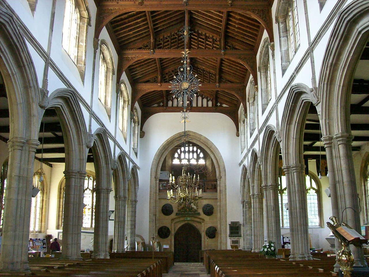 /caption] | |
| Church of St Laurence | Hawkhurst | 14th and mid-15th century | 1120819 |  Wikimedia Commons Wikimedia Commons | |
| Church of St Margaret | Horsmonden | 14th century | 1087022 |  Wikimedia Commons | |
| Church of St Martin of Tours | Speldhurst | 14th century | 1074896 |  Wikimedia Commons | |
| Church of St Mary | Goudhurst | 13th to 15th century | 1338671 |  Wikimedia Commons | |
| Church of St Mary | Lamberhurst | 12th century | 1084519 |  Wikimedia Commons | |
| Church of St Thomas à Becket | Capel | Norman origins | 1262867 |  Wikimedia Commons | |
| Finchcocks | Goudhurst Finchcocks | 1725 | 1318935 |  Wikimedia Commons | |
| Garden Walls and Features of the Terraced Garden (Including Ivy Cottage) Approximately 30 Metres North of Groombridge Place | Speldhurst | 17th century | 1240706 | 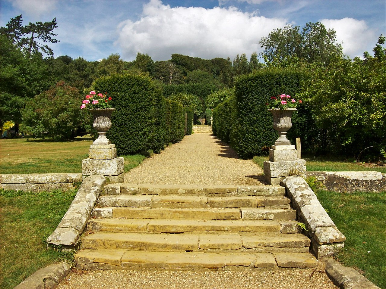 Wikimedia Commons | |
| Groombridge Place | Speldhurst | 1652–1674 | 1260959 |  Wikimedia Commons | |
| Groombridge Place Moat, Walls and Bridge Including the West Gateway and Cottage on the North Bridge | Speldhurst | 17th century | 1260960 |  Wikimedia Commons | |
| Matfield House | Matfield | 1738 | 1250644 |  Wikimedia Commons | |
| Old Church of St Peter | Pembury | Norman | 1254444 | 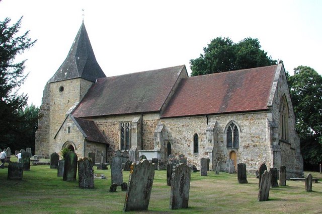 Wikimedia Commons | |
| Old Wilsley | Cranbrook | Late 14th and early 15th century | 1338663 | 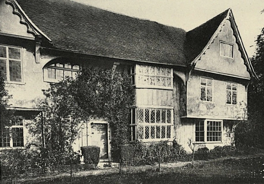 Historic England | |
| Parish Church of All Saints | Brenchley | 13th century | 1249609 |  Wikimedia Commons | |
| Scotney Castle with Courtyards and Garden Terrace | Lamberhurst | 1837–1844 | 1336699 |  Wikimedia Commons | |
| Somerhill | Capel | 1611–1613 | 1253489 |  Wikimedia Commons | |
| Stable Block immediately North East of Matfield House | Matfield | 1736 | 1250646 | Wikimedia Commons | |
| The Church of King Charles the Martyr | Tunbridge Wells | 1676–1684 | 1084478 |  Wikimedia Commons | |
| The Ruins of Old Scotney Castle | Lamberhurst | 1378 | 1085287 | 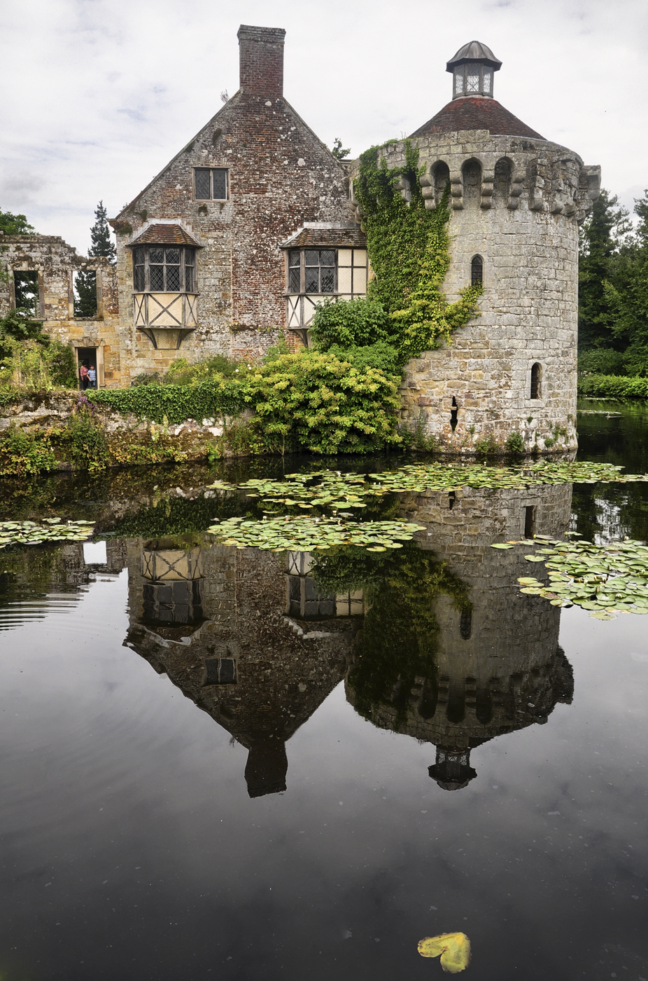 Wikimedia Commons | |
| Tower and Walls 30 Yards East of the West Range at Sissinghurst Castle | Cranbrook | c. 1570 | 1084163 |  Wikimedia Commons | |
| Union Mill | Cranbrook | 1814 | 1356175 |  Wikimedia Commons | |
| West Range at Sissinghurst Castle | Cranbrook | c. 1490 | 1346285 | 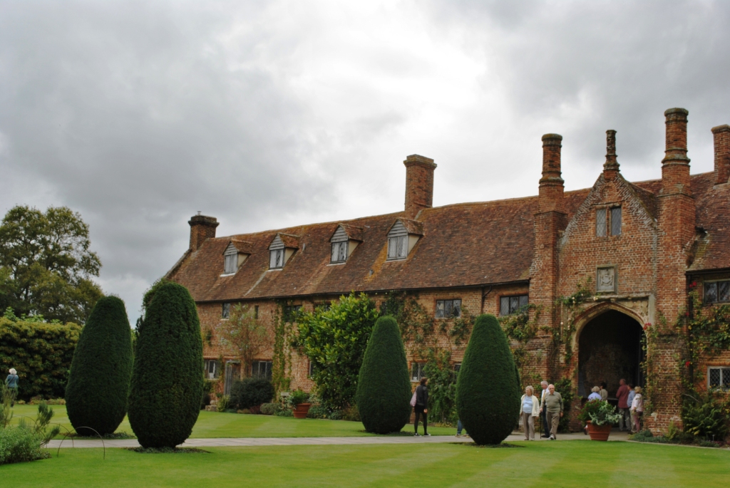 Wikimedia Commons |
See also
- Grade I listed buildings in Kent
 Grade I listed buildings in the ceremonial county of Kent.
