
Rushcliffe shown within Northamptonshire
Wikimedia Commons
Wikimedia Commons
The non-metropolitan district of Rushcliffe in the East Midlands of England is one of the seven districts and one unitary authority Local government administrative unit in the UK. that make up the ceremonial county
 Area in England with an appointed Lord Lieutenant to represent the monarch's interest. of Nottinghamshire.[1]
The district contains 34 of the 146 Grade I listed buildings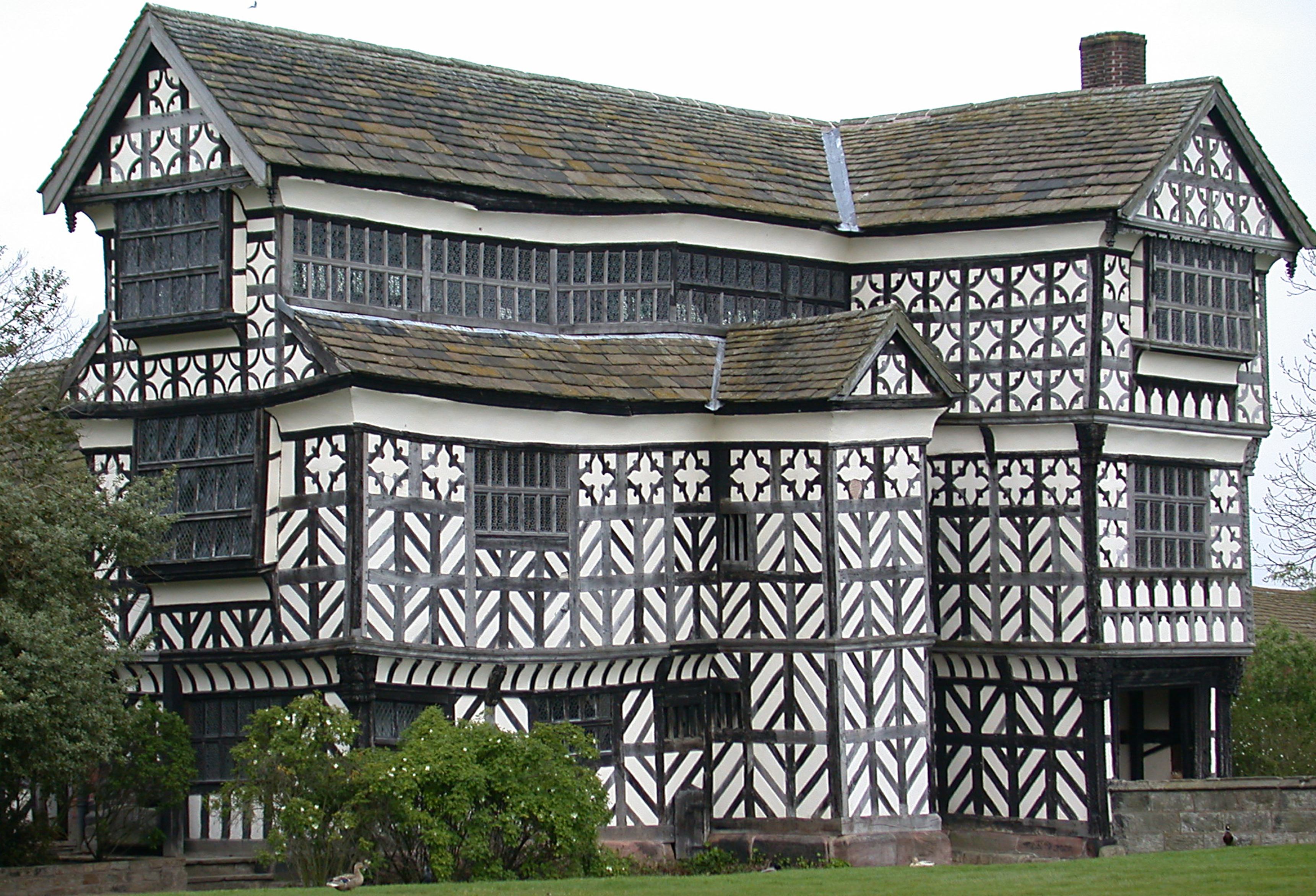 Structure of particular architectural and/or historic interest deserving of special protection. in Nottinghamshire. Grade I structures are those considered to be “buildings of exceptional interest”.[2]
| Name | Location | Architect | Completed | Entry number | Image |
|---|---|---|---|---|---|
| Bunny Hall | Bunny | c. 1720 | 1249018 |  Wikimedia Commons | |
| Church of All Saints | Cotgrave | Late 14th century | 1277792 |  Wikimedia Commons | |
| Church of All Saints | Granby | Pre-Conquest | 1265230 |  Wikimedia Commons | |
| Church of Holy Trinity | Wysall | 12th century | 1259980 |  Wikimedia Commons | |
| Church of St Andrew | Langar cum Barnstone | 1712 | 1264793 |  Wikimedia Commons | |
| Church of St Augustine | Flintham | 12th century | 1272726 | 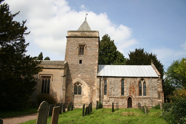 Wikimedia Commons | |
| Church of St Edmund | Holme Pierrepont | 13th century | 1249315 | 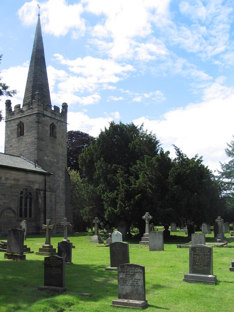 Wikimedia Commons | |
| Church of St George | Barton in Fabis | 1892 | 1248685 |  Wikimedia Commons | |
| Church of St Giles | Cropwell Bishop | 13th century | 1045650 |  Wikimedia Commons | |
| Church of St Helena | Thoroton | 14th century | 1272720 |  Wikimedia Commons | |
| Church of St James | Normanton on Soar | 13th century | 1242162 |  Wikimedia Commons | |
| Church of St John of Beverley | Scarrington | Early 14th century | 1272713 |  Wikimedia Commons | |
| Church of Holy Trinity | Wysall | 12th century | 1259980 | Wikimedia Commons | |
| Church of St John the Baptist | Stanford on Soar | 13th century | 1242187 |  Wikimedia Commons | |
| Church of St Lawrence | Gotham | 13th century | 1260206 |  Wikimedia Commons | |
| Church of St Luke | Hickling | 14th century | 1264986 |  Wikimedia Commons | |
| Church of St Luke | Upper Broughton | c. 1200 | 1264583 | 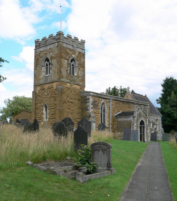 Wikimedia Commons | |
| Church of St Mary | Car Colston | 13th century | 1045667 | 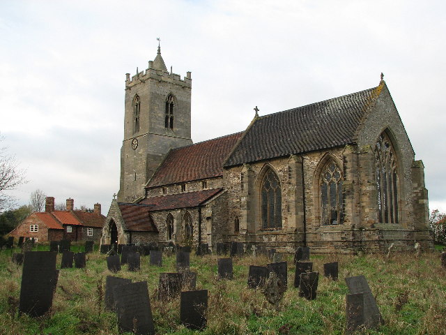 Wikimedia Commons | |
| Church of St Mary | East Leake | 12th century | 1260244 |  Wikimedia Commons | |
| Church of St Mary | Orston | 1766 | 1272710 | 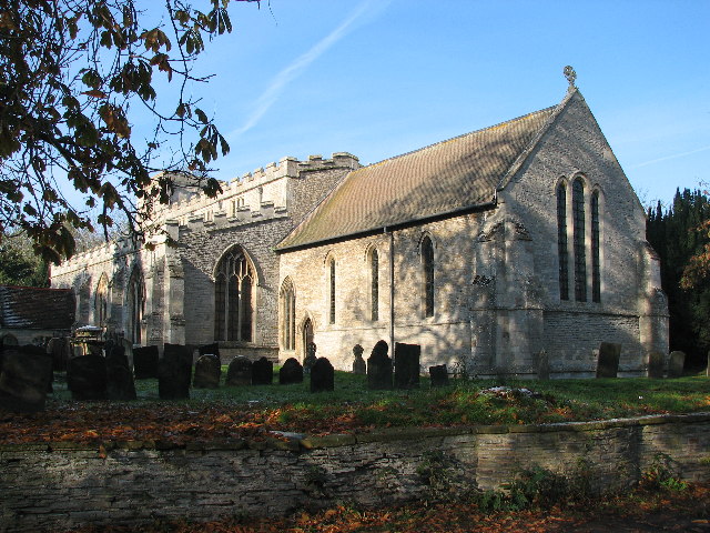 Wikimedia Commons | |
| Church of St Mary and adjoining wall | Bunny | 14th century | 1248713 |  Wikimedia Commons | |
| Church of St Mary and All Saints | Bingham | 1225 | 1045660 |  Wikimedia Commons | |
| Church of St Mary and All Saints | Willoughby on the Wolds | 13th century | 1242526 | 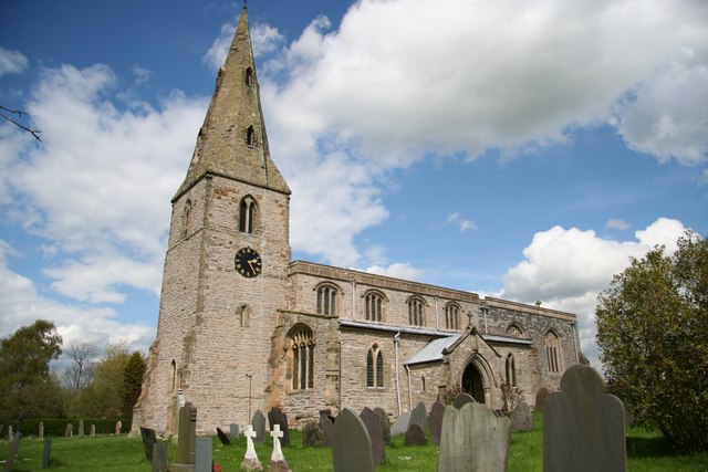 Wikimedia Commons | |
| Church of St Mary Magdalene | Keyworth | Early 15th century | 1039626 | 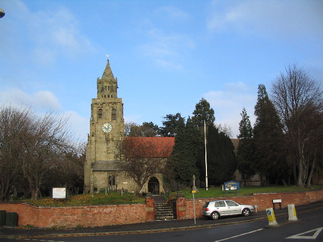 Wikimedia Commons | |
| Church of St Peter | East Bridgford | 11th century | 1272697 |  Wikimedia Commons | |
| Church of St Peter | Sibthorpe | 13th century | 1244670 |  Wikimedia Commons | |
| Church of St Wilfrid | Screveton | 15th century | 1243811 | 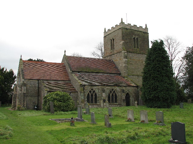 Wikimedia Commons | |
| Church of St Winifred | Kingston on Soar | c. 1540 | 1242066 | Wikimedia Commons | |
| Church of the Holy Trinity | Tithby | 14th century | 1235979 |  Wikimedia Commons | |
| Flintham Hall and Adjoining Terrace Wall | Flintham Hall Park | 17th century | 1272727 |  Wikimedia Commons | |
| Holme Pierrepont Hall | Holme Pierrepont | Late 17th century | 1249330 |  Wikimedia Commons | |
| Pigeoncote | Sibthorpe | 14th century | 1243820 |  Wikimedia Commons | |
| Remains of Church of St Mary | Colston Bassett | 12th century | 1210576 |  Wikimedia Commons | |
| Thrumpton Hall and attached range of outbuildings | Thrumpton Hall Park | 1617 | 1242464 |  Wikimedia Commons |
See also
- Grade I listed buildings in Nottinghamshire
 Grade I listed buildings in the ceremonial county of Nottinghamshire, split into the seven district councils plus the unitary authority of City of Nottingham.

