
South Derbyshire shown within Derbyshire
Wikimedia Commons
Wikimedia Commons
South Derbyshire District Council is one of the eight district authorities and one unitary authority Local government administrative unit in the UK. that make up the ceremonial county
 Area in England with an appointed Lord Lieutenant to represent the monarch's interest. of Derbyshire.[1]
The authority contains 47 of the 147 Grade I listed buildings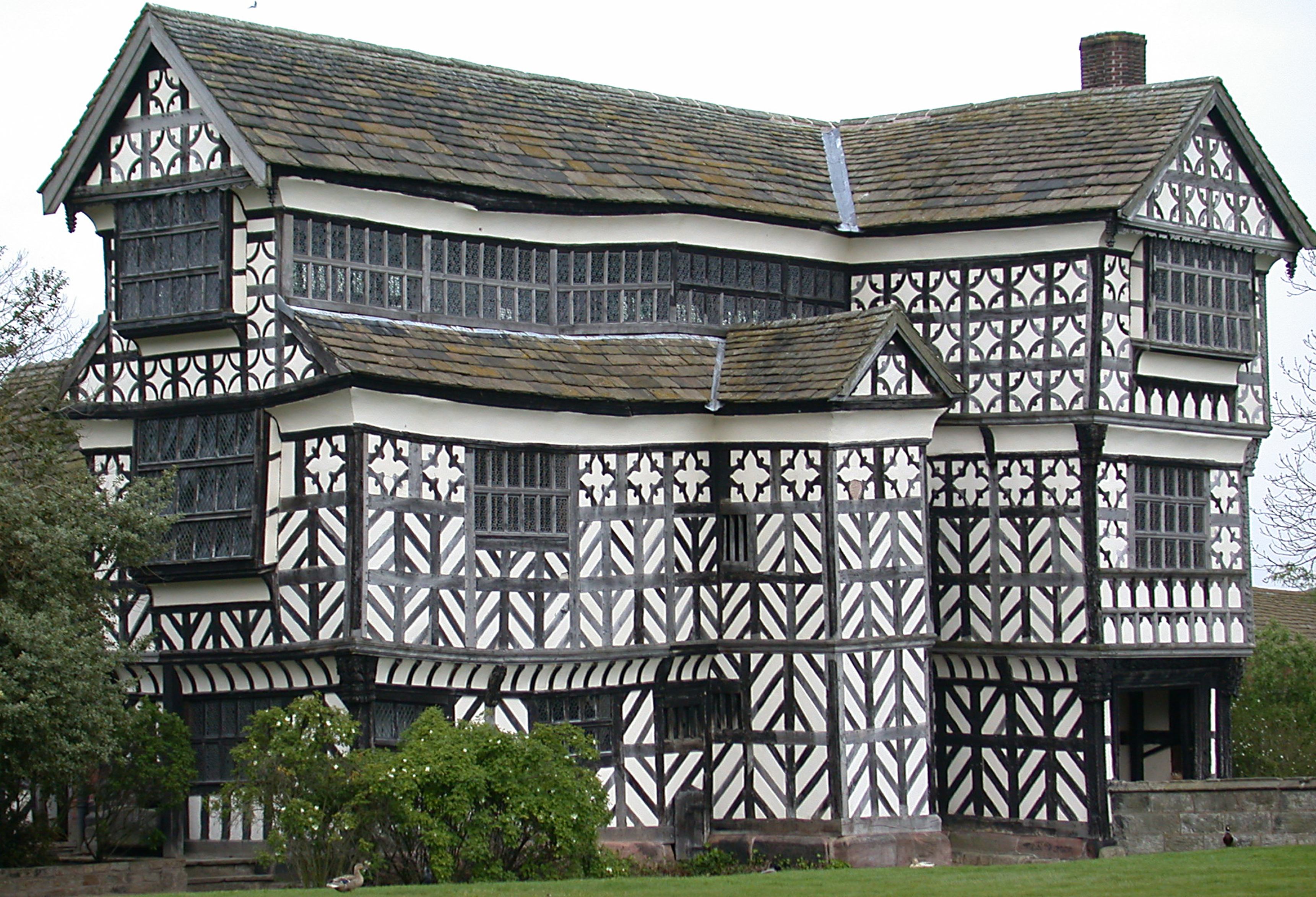 Structure of particular architectural and/or historic interest deserving of special protection. in the county, structures considered to be of particular architectural interest.[2]
| Name | Location | Architect | Completed | Entry number | Image |
|---|---|---|---|---|---|
| Aisled barn attached to north of stables at Melbourne Hall | Melbourne | Early 18th century | 1281386 |  Historic England | |
| Calke Abbey | Calke | 18th century | 1031839 |  Wikimedia Commons | |
| Church of All Saints | Aston-on-Trent | 12th century | 1281625 |  Wikimedia Commons | |
| Church of St Andrew | Radbourne | 13th century | 1204062 |  Wikimedia Commons | |
| Church of St Andrew | Twyford and Stenson | 12th century | 1039117 |  Wikimedia Commons | |
| Church of St Bartholomew | Elvaston | 13th century | 1096395 | 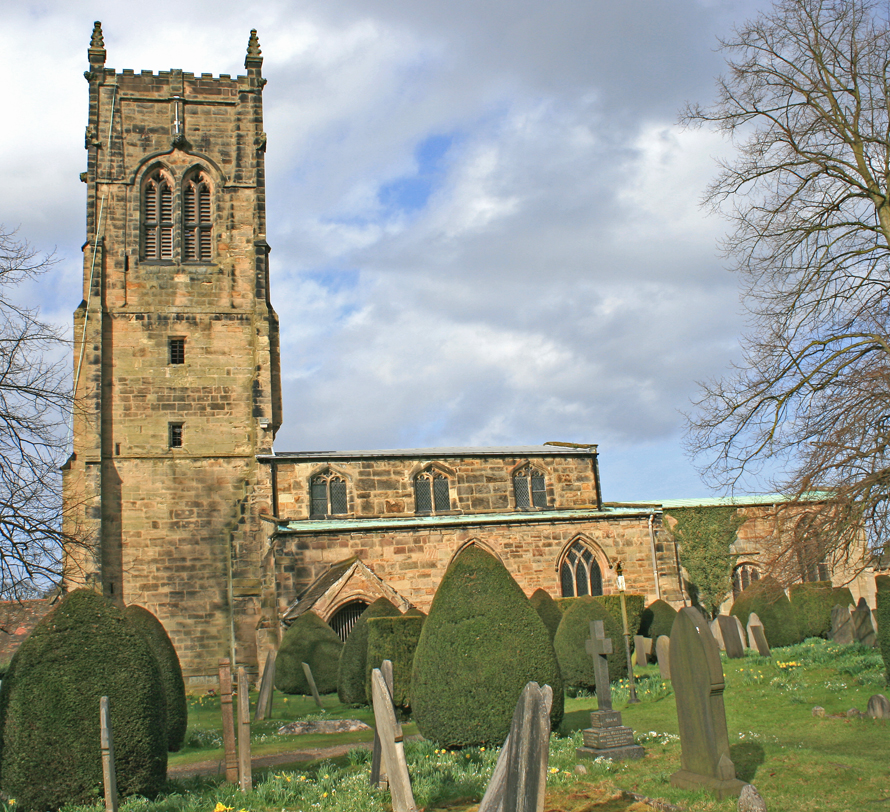 Wikimedia Commons | |
| Church of St Helen | Etwall | Late 12th century | 1096573 |  Wikimedia Commons | |
| Church of St James | Smisby | 13th century | 1096467 |  Wikimedia Commons | |
| Church of St Mary | Marston on Dove | 13th century | 1334544 |  Wikimedia Commons | |
| Church of St Mary | Weston-on-Trent | 13th century | 1205737 |  Wikimedia Commons | |
| Church of St Michael | Stanton by Bridge | 1088339 |  Wikimedia Commons | ||
| Church of St Michael and All Angels | Church Broughton | 1205179 |  Wikimedia Commons | ||
| Church of St Michael and St Mary | Melbourne | 1204556 |  Wikimedia Commons | ||
| Church of St Saviour | Foremark | 1045861 |  Wikimedia Commons | ||
| Church of St Wilfrid | Barrow-upon-Trent | 1096559 | 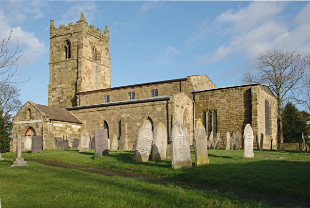 Wikimedia Commons | ||
| Church of St Wystan | Repton | 1334560 |  Wikimedia Commons | ||
| Covered seat to east of Fountain Pond in Melbourne Hall gardens | Melbourne | 1096377 | |||
| Covered seat to west of Fountain Pond in Melbourne Hall gardens | Melbourne | 1262770 | |||
| Five flights of steps between terraces at Melbourne Hall gardens | Melbourne | 1096411 |  Historic England | ||
| Foremarke Hall | Foremark | 1096531 |  Wikimedia Commons | ||
| Garden walls attached to south front of Melbourne Hall with attached railings and wall to east | Melbourne | 1334648 | 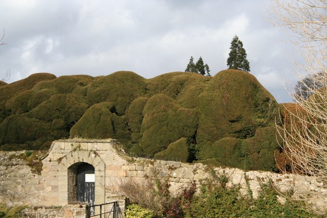 Wikimedia Commons | ||
| Market Cross | Repton | 1096537 |  Wikimedia Commons | ||
| Muniment Room in Melbourne Hall gardens | Melbourne | 1281353 | 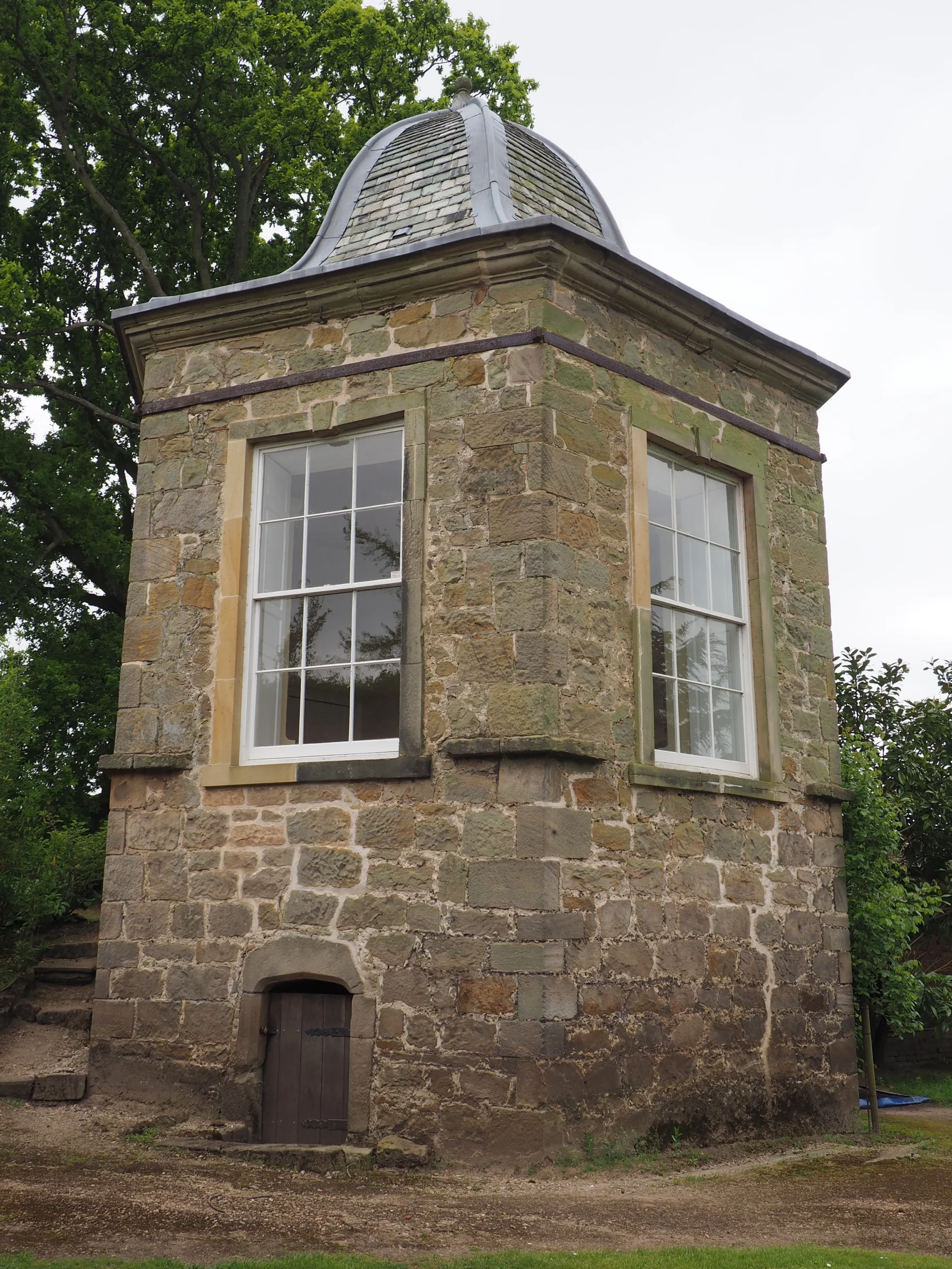 Historic England | ||
| Pair of cherubs to north of statue of Mercury in Melbourne Hall gardens | Melbourne | 1334595 |  Wikimedia Commons | ||
| Pair of cherubs to south of statue of Mercury in Melbourne Hall gardens | Melbourne | 1096412 | |||
| Pair of pedestals supporting fruit bowl vase in Melbourne Hall gardens | Melbourne | 1096409 | |||
| Pair of pedestals with lead slaves in Melbourne Hall gardens | Melbourne | Jan van Nost | c. 1700 | 1334634 | 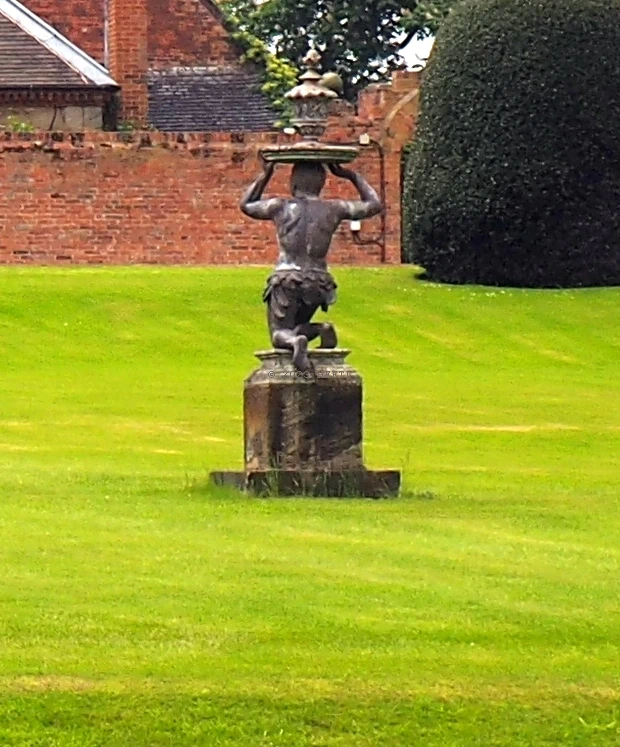 Historic England |
| Pedestal and Four Seasons Vase in Melbourne Hall gardens | Melbourne | 1281182 |  Wikimedia Commons | ||
| Pedestal with statue of Andromeda in Melbourne Hall gardens | Melbourne | 1334616 |  Wikimedia Commons | ||
| Pedestal with statue of Mercury in Melbourne Hall gardens | Melbourne | 1204240 | 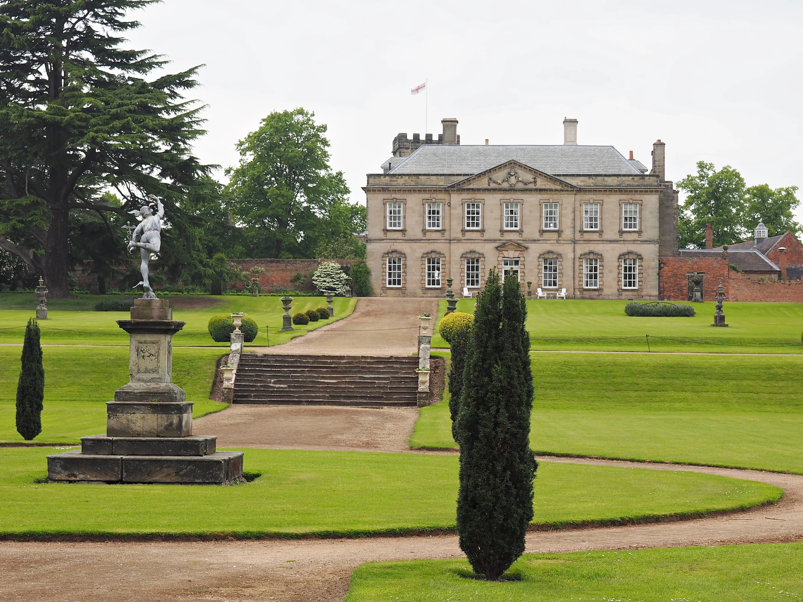 Historic England] | ||
| Pedestal with statue of Perseus in Melbourne Hall gardens | Melbourne | 1096374 |  Historic England | ||
| Pedestal with vase to south-west of Fountain Pond in Melbourne Hall garden | Melbourne | 1096378 | |||
| Priory Gateway, precinct walls, the tithe barn and the Lodge, Repton School | Repton | 13th century | 1055800 |  Wikimedia Commons | |
| Radbourne Hall | Radbourne | c. 1865 | 1334517 | 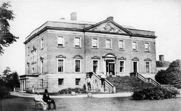 Wikimedia Commons | |
| Remains of Priory Church and the Chapter Block, Repton School | Repton | 13th century | 1096512 | ||
| Repton Hall with Prior Overton’s Tower, Repton School | Repton | c. 1680 | 1057669 |  Historic England | |
| Stone fountain to north of lower terrace in Melbourne Hall gardens | Melbourne | c. 1704 | 1204272 |  Wikimedia Commons | |
| Stone fountain to south of lower terrace in Melbourne Hall gardens | Melbourne | c. 1704 | 1204317 | ||
| Swarkestone Bridge and Causeway | Stanton by Bridge | Late 13th or early 14th century | 1088337 | 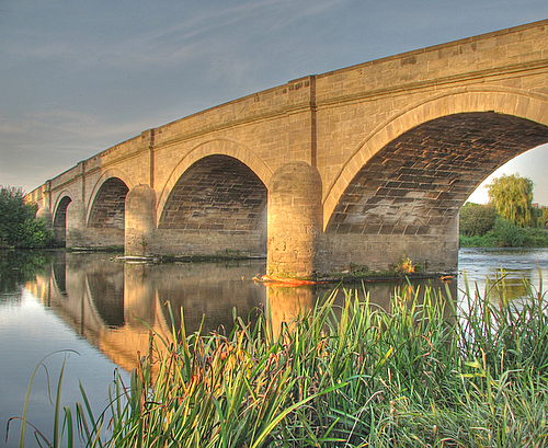 Wikimedia Commons | |
| Tea rooms to north of Melbourne Hall and attached walls | Melbourne | Early 18th century | 1334633 |  Wikimedia Commons | |
| The Birdcage Arbour in Melbourne Hall gardens | Melbourne | c. 1705–1710 | 1096375 |  Wikimedia Commons | |
| The Grandstand, Cuttle and Gate 200 metres north of Swarkestone Hall | Swarkstone | c. 1630 | 1088345 |  Wikimedia Commons | |
| The Old Priory, attached walls and gate piers, Repton School | Repton | Late 12th century | 1055755 | Wikimedia Commons | |
| Three pairs of vases flanking central path of upper terrace in Melbourne Hall gardens | Melbourne | Early 18th century | 1204146 | 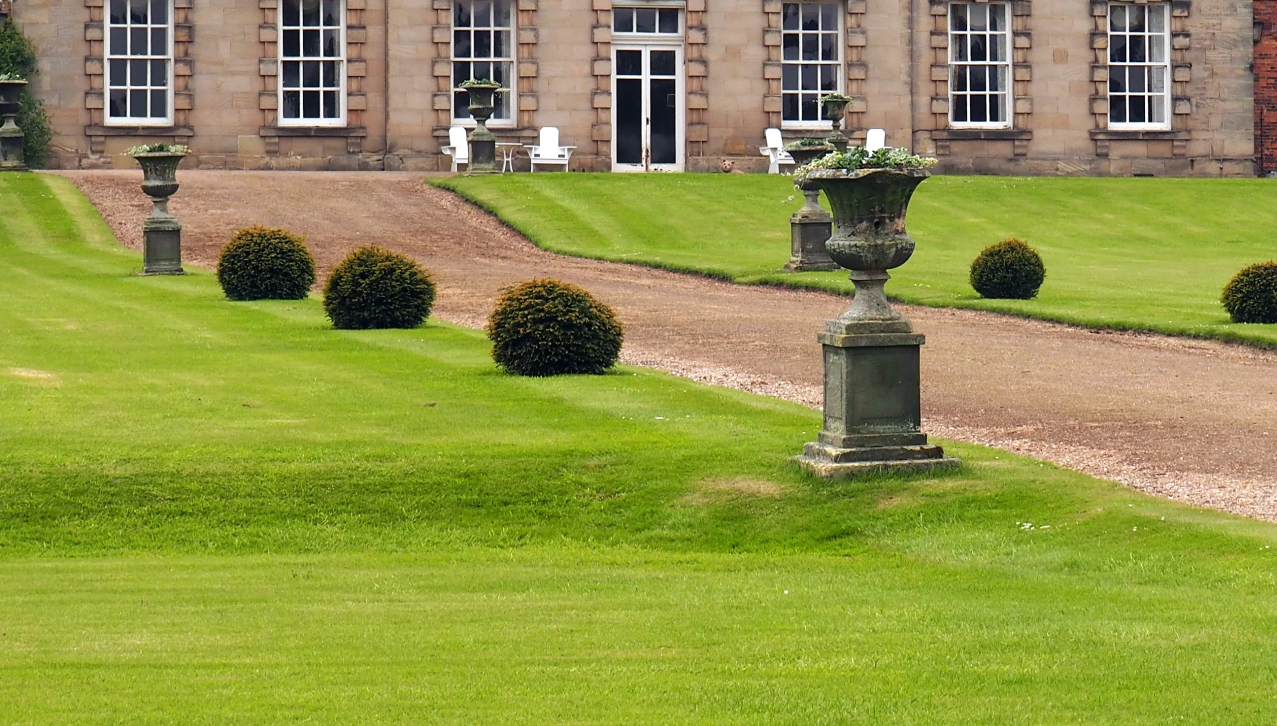 Historic England | |
| Two pairs of cherubs to north-west of the Grand Basin in Melbourne Hall gardens | Melbourne | c. 1700 | 1096372 |  Wikimedia Commons | |
| Two pairs of cherubs to south-west of the Grand Basin in Melbourne Hall gardens | Melbourne | c. 1700 | 1334615 | ||
| Vase and pedestal to north-west of the Four Seasons Vase in Melbourne Hall gardens | Melbourne | Late 18th century | 1096380 |  Historic England |
See also
- Grade I listed buildings in Derbyshire
 Grade I listed buildings in the ceremonial county of Derbyshire, split into the eight district councils and one unitary authority.

